


- home
- Current Projects
- Deschutes River Trail South Study
Deschutes River Trail South Study
Project Phase
- PLANNING
- DESIGN
- PERMITTING
- CONSTRUCTION
Project Overview
The Deschutes River Trail South Study project is identified as a planned project in the Bend Park & Recreation District’s Comprehensive Plan. The project’s purpose is to complete one of the last remaining gaps on the Deschutes River Trail, which runs between Sunriver and Tumalo State Park, and to enhance non-motorized access to the Deschutes National Forest from Bend.
The project has been identified in locally adopted plans since the mid-1990s including the City of Bend – Urban Trails Plan (1996), the City of Bend and Bend Park & Recreation District – Deschutes River Trail Action Plan (2002), City of Bend – Transportation System Plan (2006, 2019 [by reference]), and the Bend Park & Recreation District – Trails Master Plan (2008). The project was also identified in the Deschutes National Forest Alternative Transportation Study (2015) which provided recommendations to enhance non-motorized access to high-use recreational areas in the Deschutes National Forest and to reduce environmental impacts associated with driving and illegal parking.
The Deschutes River Trail South Study will re-evaluate the project study area explored from 2015-2019 to see if there are alternative trail alignments and to expand upon previous planning efforts. The project includes engineering feasibility analysis for up to two alternatives to inform future decision-making about the project. The study includes at least one “no-build” alternative utilizing existing, or pending (i.e. to be built soon), trails or roadways. This alternative will be evaluated against other alternatives that include the construction of a new bridge and trails.
The intent is to provide the district, the public and other stakeholders with more detailed and accurate information about the possible project to inform future community conversations and project design engineering, if applicable.
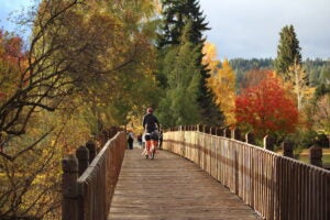
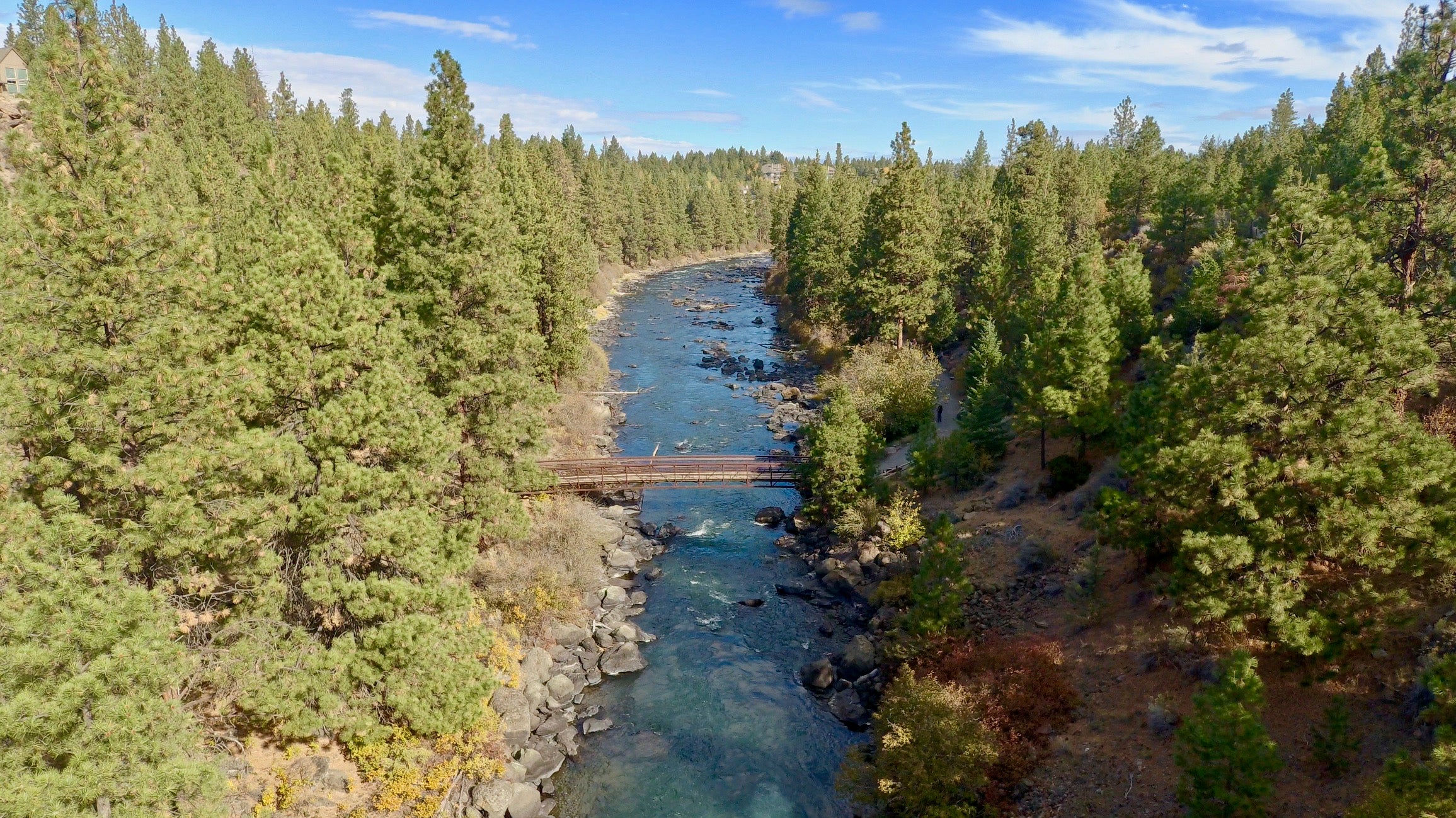
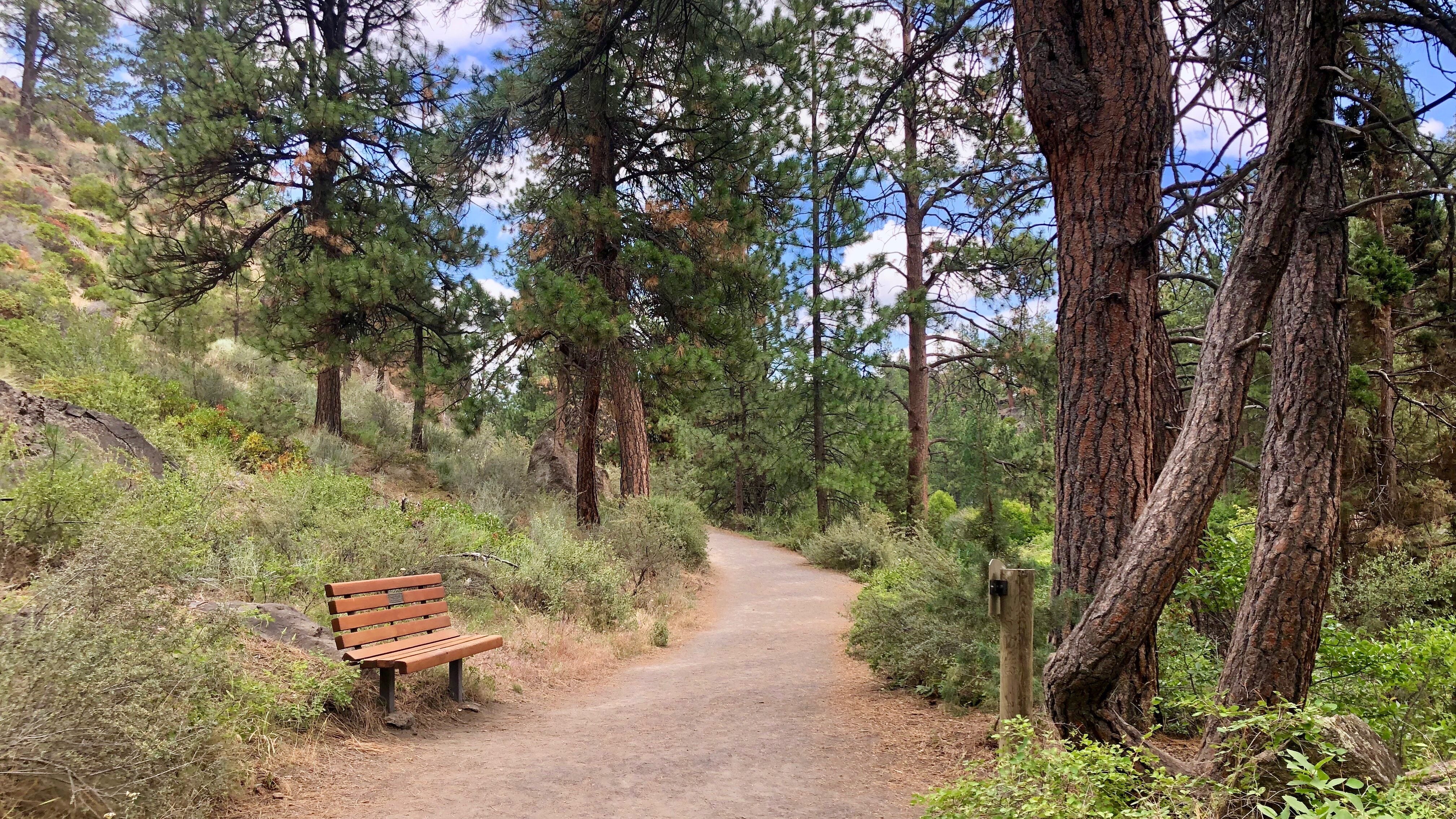
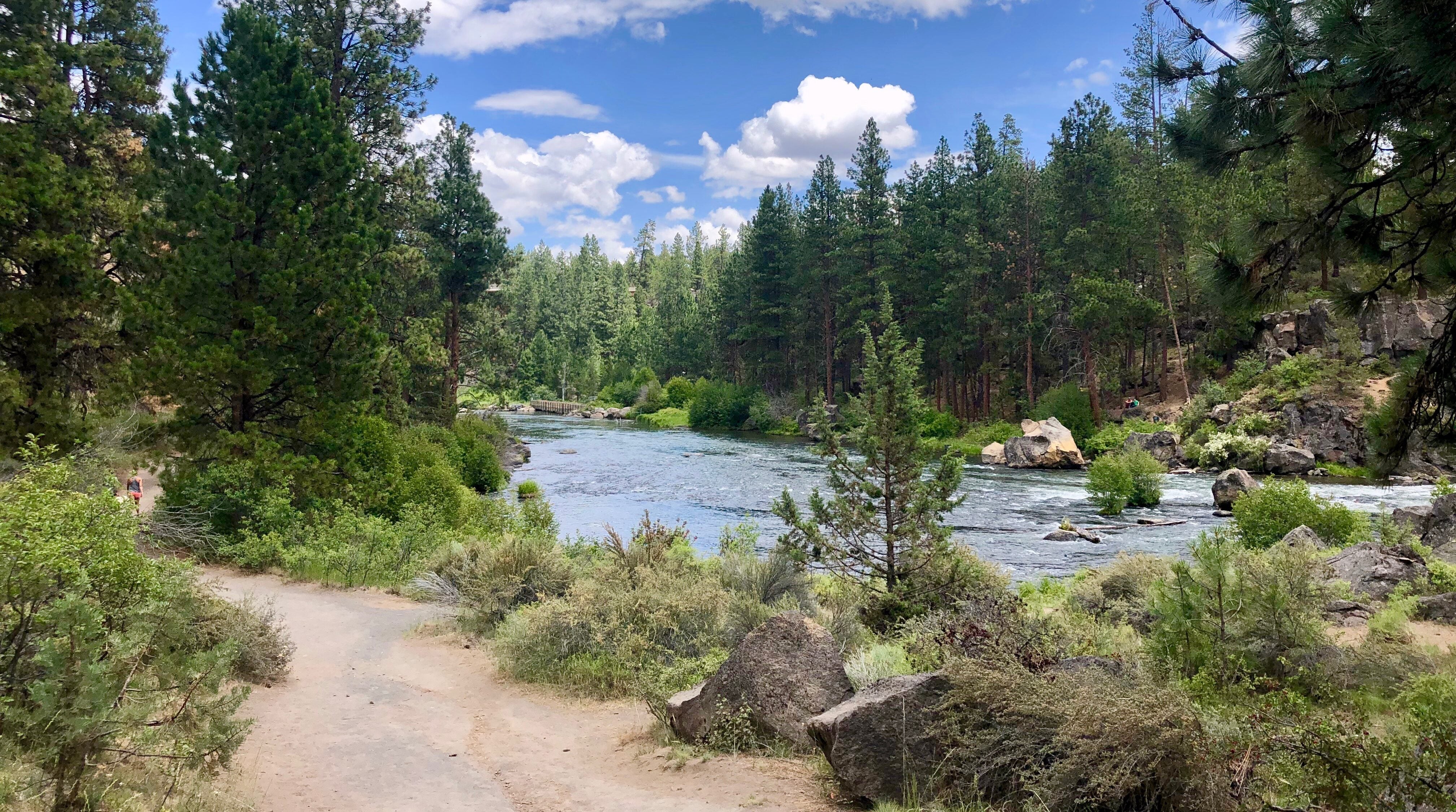
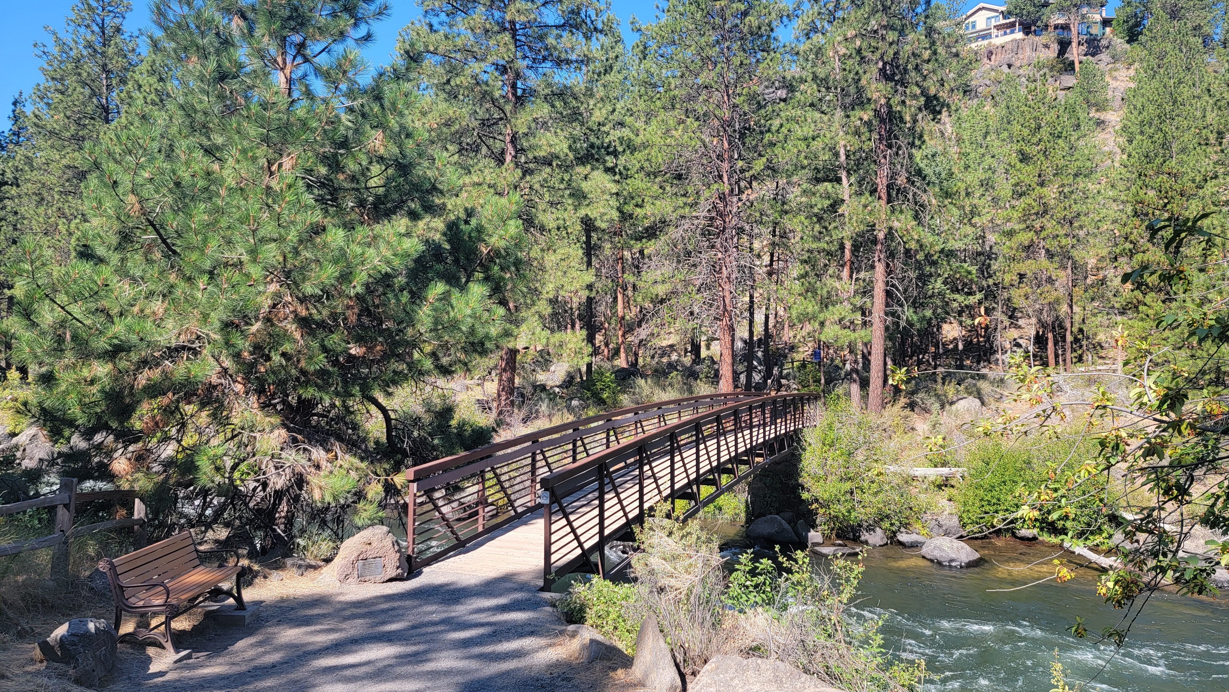
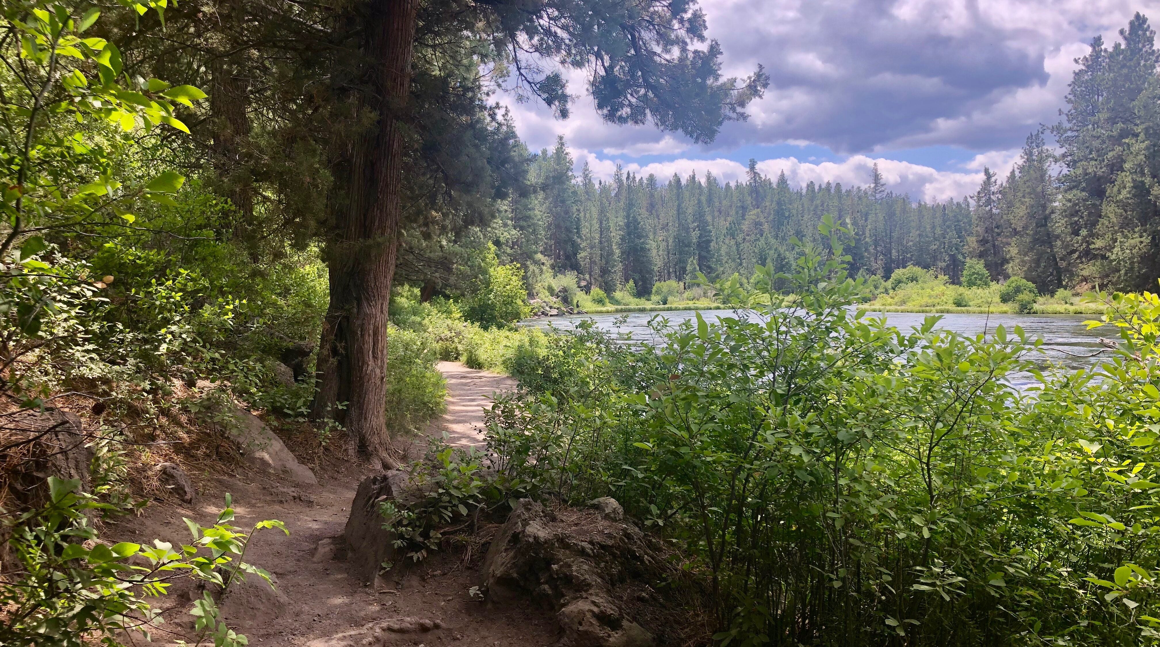
Note: Images shown are of existing trail and amenities of the Deschutes River Trail South Canyon Reach, south of Farewell Bend Park.
See Study Area Map in Documents tab
$250,000
SDC Funds
April 2027
Contact Information
For more information on the Deschutes River Trail South Study, please contact

- July 2025 – RFP issued for Architectural/Engineering Professional Design Services
- October 2025 – Board approval of professional services contract for the project
- Stakeholder Orientation (not open to the general public) March 10
- Stakeholder Meeting #1 March 18
- Public Open House #1, April 2 @6:30-8PM Elk Meadow Elementary School gymnasium
This project will include multiple opportunities for public and stakeholder input. During the project, a stakeholder group comprised of representatives from various community groups, non-profits, and partner agencies will meet a minimum of four times to provide input before key project milestones. Additionally, there will be a minimum of two open houses to seek input from the general public about the project. There will also be three presentations about the project to BPRD’s Board of Directors during which the public may provide testimony directly to board members.
Q: Why is BPRD undertaking this study? How is this different from past evaluations of a trail connection and pedestrian crossing?
A: The district began working on the DRT South Project after voters approved a bond measure to support the development of new parks and trails in 2012. In 2015, a citizens advisory committee evaluated numerous possible trail and bridge locations and recommended the planned trail alignment shown in the Bend Park & Recreation District’s Comprehensive Plan. However, BPRD was unable to study the engineering feasibility, possible environmental impacts, and estimated cost before the project was halted in 2019. Since 2019, the southern Bend area has continued to develop. More than 70 homes have been built within the State Scenic Waterway near the planned trail, and there are several active land use applications for additional residential development within this area.
This project will reevaluate the project study area to see if there are alternative trail alignments and expand upon previous planning efforts. The project includes engineering feasibility analysis for up to two alternatives to inform future decision making about the project.
Q: What are the current state and federal designations for the Deschutes River that may impact this project?
A: The current planned trail alignment would require the construction of a pedestrian bridge within a portion of the Deschutes River that is classified as a State Scenic Waterway and a Federal Wild & Scenic Waterway. The Oregon Administrative Rules for the Upper Deschutes River prohibit new bridges in the State Scenic Waterway (OAR 736-040-0073 Sect. 1.e.), and new bridges are discouraged within the Federal Wild and Scenic Waterway classification areas. However, there is a process that allows landowners to pursue projects that are not permitted within State Scenic Waterways by submitting an application to the Oregon Parks & Recreation Department. This application triggers a mandatory 12-month review period during which the State can study the application in more detail and decide to either allow the project to proceed, work with the applicant to minimize impacts to the State Scenic Waterway, or purchase property to stop the project entirely (Oregon Revised Statute 390.845).
Q: What is the scope of the study?
A: This study will develop and evaluate alternative alignments for a segment of the planned Deschutes River Trail. It will also carry out preliminary engineering feasibility analyses for two “preferred alternatives” including schematic design, order of magnitude cost estimates, a summary of the regulatory framework and permitting requirements, right of way acquisition needs and environmental impacts/mitigation requirements. The intent of this study is to provide the district, the public and other stakeholders with more detailed information about the possible project to inform future community conversations and project design engineering.
Q: Is no bridge a possible outcome of the study?
A: The study includes at least one “no-build” alternative utilizing existing, or pending (i.e. to be built soon), trails or roadways. This alternative will be evaluated against other alternatives that include the construction of a new bridge and trails. After an initial comparison of all the alternatives, including the no-build option, two alternatives will be recommended for additional engineering analysis. Depending on the results of the initial analysis, the no-build option may be one of the alternatives recommended for additional analysis.
Q: When will the public and stakeholders be involved?
A: This project will include multiple opportunities for public and stakeholder input. During the project, a stakeholder group comprised of representatives from various community groups, non-profits, and partner agencies will meet a minimum of four times to provide input before key project milestones. Additionally, there will be a minimum of two open houses to seek input from the general public about the project.
There will also be three presentations about the project to BPRD’s Board of Directors during which the public may provide testimony directly to board members. The dates for the public open houses and board of director’s meetings will be published on the project web page in advance.
You may also sign up for project updates by submitting your email contact to the project page. Updates will be sent prior to major project milestones and to announce upcoming opportunities for public input.
Want to receive project updates? Or have questions or feedback? Leave your questions or comments with an email address for any possible follow up.